Home : Things : Old Maps |
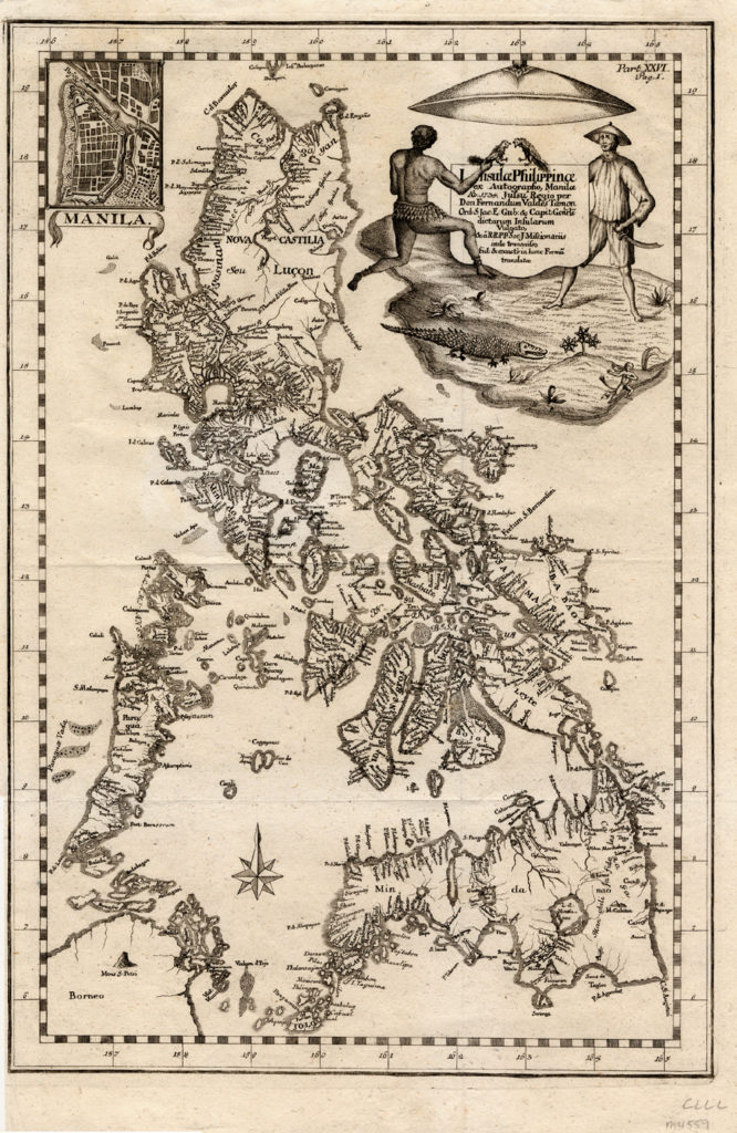
Map of the Philippine Islands, published by Pedro Murillo Velarde in 1774. Velarde published the first accurate map of the islands forty years earlier. (Text from this link.)
License: Free license: PD: public domain
Source:
Source of image: https://www.asianstudies.org/publications/eaa/archives/the-philippines-an-overview-of-the-colonial-era/?fbclid=IwAR2EcEfn1N9BGmacrR1lnvxYW00MqEZKzndZSD_U5zMdxSo7Ax4r2IbYMZY
Link to full digital asset: https://phhistory.org/images/1774_map_of_the_Philippine_Islands-666x1024.jpg

